Liberty Prairie Reserve
The Liberty Prairie Reserve is a 5,800 acre conservation area the includes Prairie Crossing as its western anchor. The desire to preserve most of the Reserve as open land was the impetus for developing Prairie Crossing. 3,200 acres of this public and private land have been permanently protected from further development, thanks to parcel-by-parcel negotiation with landowners. The initial master plan for the Liberty Prairie Reserve (initially named the Oak Prairie Open Space Preserve) was created in 1991, and was revised in May 2013, thanks to a Local Technical Assistance Grant from the Chicago Metropolitan Agency for Planning (CMAP) and the leadership of Conserve Lake County.
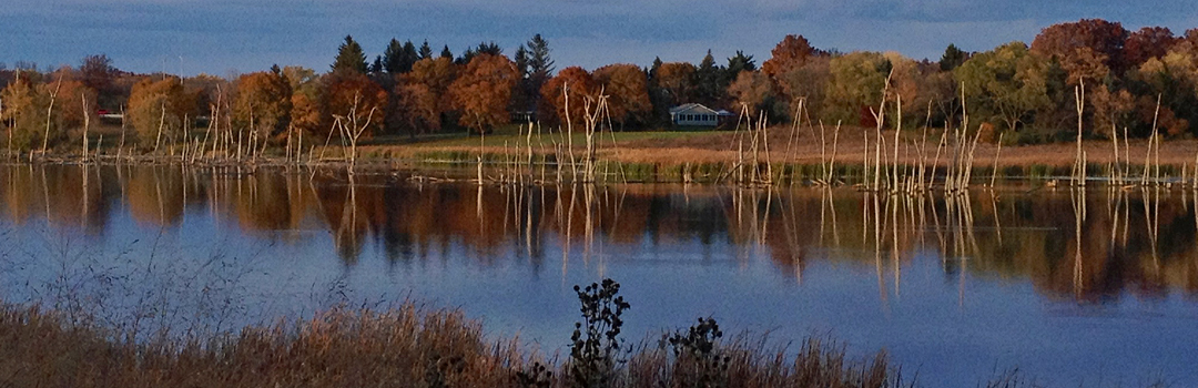
Rather than being an island of green in the midst of subdivision, Prairie Crossing is part of a corridor of open space with a trail system through rolling open space to Grayslake, Rollins Savanna, Independence Grove and beyond via the 31-mile Des Plaines River Trail. The development of Prairie Crossing benefits the land as well as its residents. Replacing the commodity crop farmland originally here with Prairie Crossing improved the health of Bulls Brook. By stabilizing the flow of rainwater off the site through nature-imitating features, Prairie Crossing enabled landowners and other partners downstream to begin restoring Bulls Brooks’ eroded banks. Residents have volunteered thousands of hours carrying out habitat restoration, and Prairie Crossing’s open space also contributes to the Reserve’s overall value as a wildlife sanctuary.